How to find mountain biking trails near you – our expert tips on discovering new places to ride
'How do I find MTB trails near me?' is a question beginner riders often ask. Well, here are our top ways to find new mountain biking trails near to where you live

Whether you've only just taken up mountain biking, wanting to explore a new area, or planning to go on a mountain biking trip, it can be tricky to find trails somewhere you don’t know.
Here at Bike Perfect, we're often on the lookout for new trails that we haven't ridden before and have become quite good at hunting down new routes and tracks. It's not always easy but with a little intuition and the right tools, you will be discovering loads of new mountain biking trails that you didn't know were there.
So keep reading and we will share our tips for finding mountain biking trails near you.
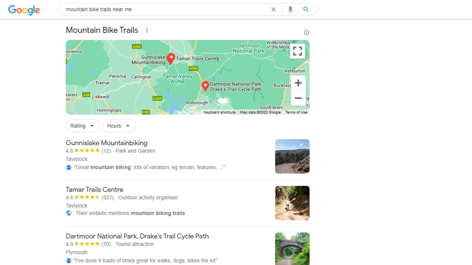
Good old-fashioned Googling
If riding a trail center or bike park is your thing then a simple Google search should bring up loads of useful information on trail associations in a particular area. More and more dedicated, well-routed, and accessible trail spots are popping up everywhere, and they usually have trails and routes suited to everyone from beginners to seasoned shredders. They often have facilities on-site too – which is a bonus if you need bike hire, a pre-ride coffee, post-ride bike wash or a toilet stop.
Talking of well established trail centers, in the UK, Forestry England, Mountain Bike Wales and Forestry and Land Scotland all have networks of well equipped trail centers with marked, easy to follow trails. While in the US, IMBA (International Mountain Bike Association) have trail centers all over the country too.
Trailforks
Trailforks is arguably the best resource when it comes to hunting down new trails, especially those that aren't publicly advertised. Trailforks is a trail database where riders, builders, and trail associations can all contribute to sharing trails. Not only does it show graded trails and routes in an area, but it also offers user-submitted descriptions, trail conditions, closures, weather, pictures, and links to video content. It’s worldwide too, although some areas are certainly better serviced than others.
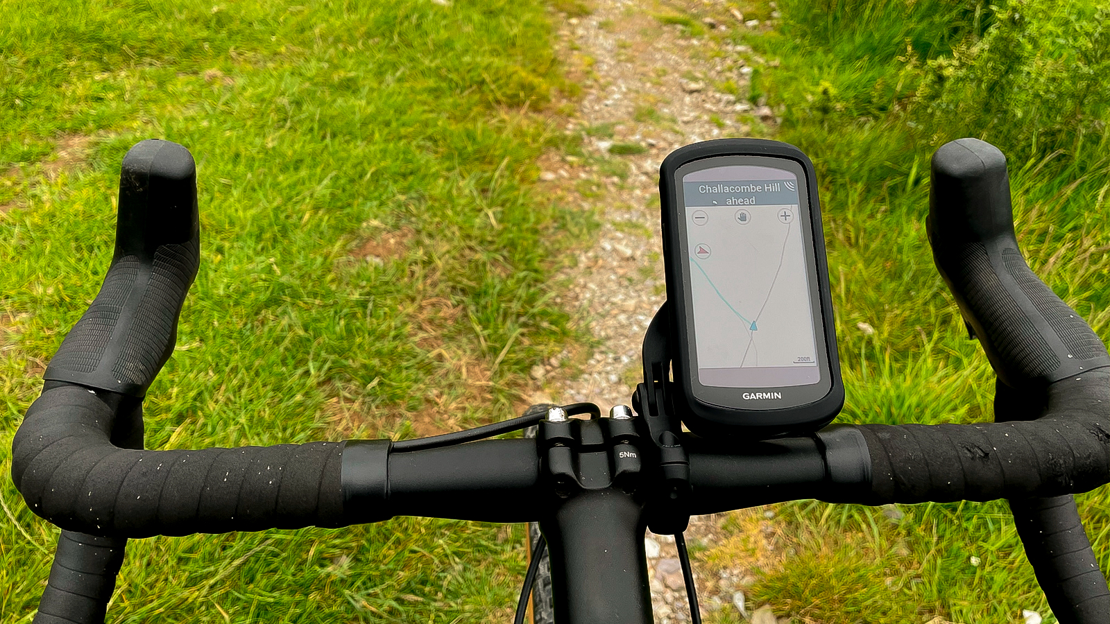
The best bit, you can use trail forks for free on a web browser. There is a mobile app as well for on-the-go trail hunting but that requires a small subscription. You can even get the Trailforks on your Garmin GPS computer if you have a compatible device.
Strava heatmaps, Komoot, and Ride With GPS
The best mountain bike apps like Strava, Komoot, and Ride with GPS all have route planning features that are bolstered by other users' ride data to help you find trails. That means they are an excellent way of planning your ride as it's based on the most popular routes rather than just a line on a map. They all work slightly differently though so it's worth knowing where their strong points lie.
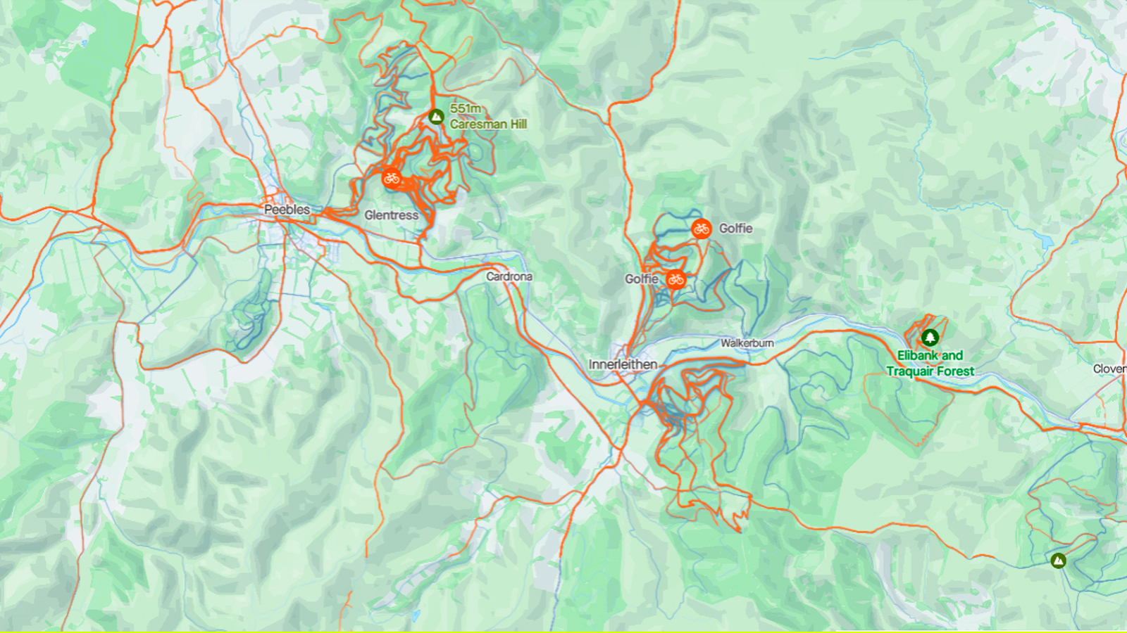
The ride recording social media platform Strava uses heatmaps and segments to help you find trails and routes. Unsure if a track is rideable? Well switch on Strava’s heatmap (subscription required unfortunately) and you will be given a color indication of how many people have already ridden it. Segments aren’t necessarily a tool for routing but they offer another good indication if a trail is worth riding. Has a segment had loads of people regularly ride it or is the leaderboard consisting of a couple of lost souls who have previously been caught out? If you know of a good trail in an area and want to see what other people have ridden, you can also see the activities of riders on a leaderboard which will show you a route or other trails they have ridden.
Komoot seeks to streamline this process by letting riders publish routes and tag key trails and points of interest. This can then be used to piece together a route as if you were a local. It also has a well-developed automatic route maker which allows you to simply enter the type of ride and let it do its magic. It's not perfect though and seems to work a lot better for gravel or road riding.
Wondering which one you sign up for? We break down all the features in our Komoot vs Strava guide.
Lastly, Ride with GPS is the OG of online route planners, it pre-dates Strava by a good few years and is still one of the best around. It offers a decent UI and great base mapping as well. It's also the only one that offers a free version of its route maker (Komoot gives you your local area for free, but outside that, you need to pay).
Local knowledge
If you are new or visiting an area, there's nothing like local knowledge for getting you up to speed on finding the best mountain biking trails around. Local Facebook groups, forums, and organized rides are a sure-fire way to get chatting with some riders in the know and find some well-known top trails. They might not spill all their secrets, but if you get out on a few rides you might be lucky enough to get introduced to the inner circle of local trail gems.
Obviously, that's much easier if you have moved to a new area and are actively looking for regular riding buddies. If information is thin on the ground then bike shops are another source of great local knowledge and will probably be more than happy to point in the right direction.
Just go ride!
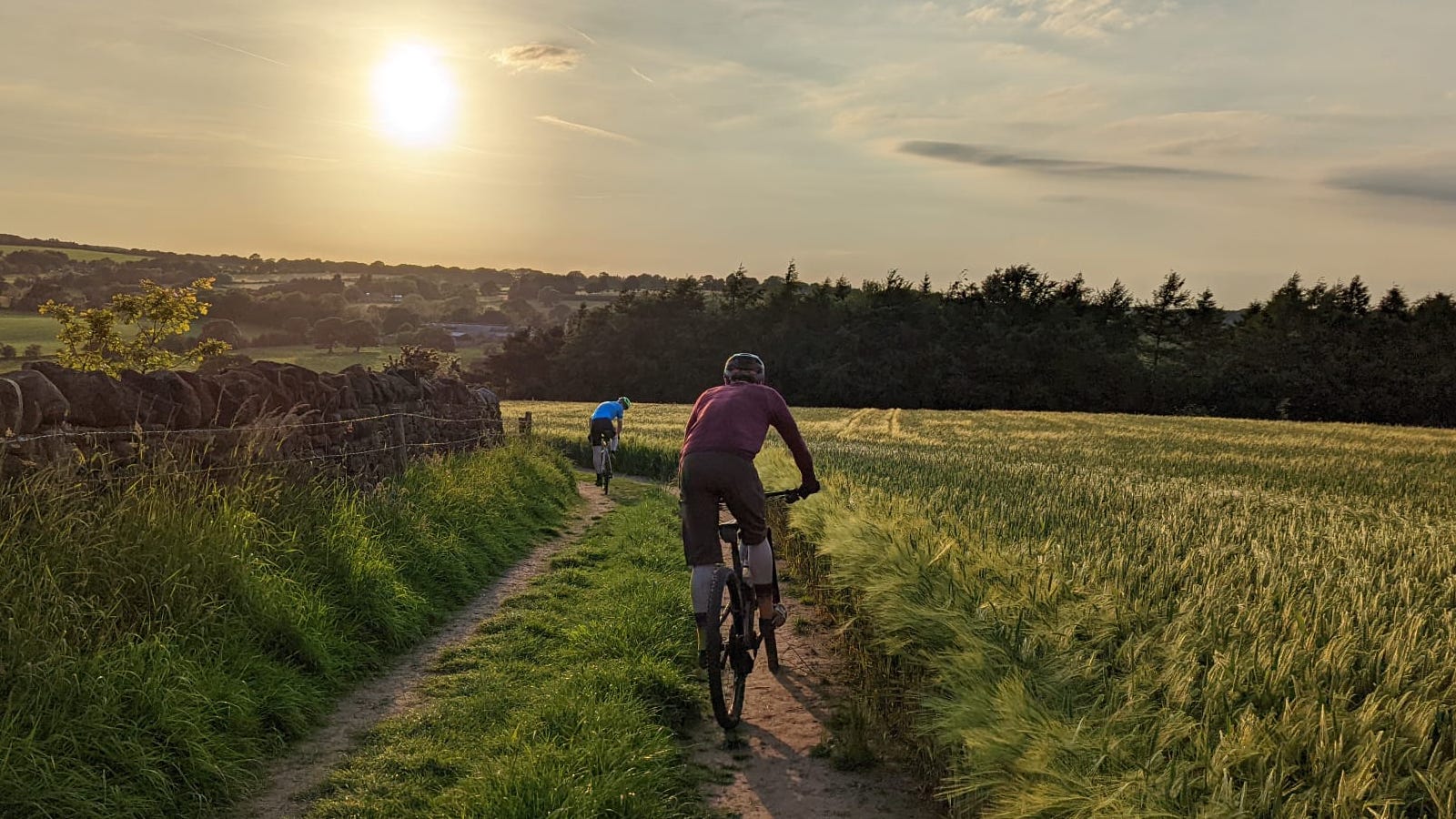
It seems obvious, but simply going out and riding in an area is one of the best ways to find new trails. Follow where a mystery track goes or climb to the top of a new hill and you never know what could be waiting for you. We have found loads of great new trails this way and it's far more rewarding than looking at a screen for hours. It can be a little time-consuming though and sometimes it can go disastrously wrong – I once had to trudge a 10km section that I thought would be rideable but was actually a marshland.

Graham Cottingham joined the BikePerfect team as our senior tech writer in 2020. With over 20 years of riding experience, he has dabbled in downhill, enduro, and gravel racing. Not afraid of a challenge, Graham has embraced bikepacking over the last few years and likes nothing more than strapping some bags to his bike and covering big miles to explore Scotland's wildernesses. When he isn’t shredding the gnar in the Tweed Valley, sleeping in bushes, or tinkering with bikes, he is writing tech reviews for BikePerfect.
Rides: Cotic SolarisMax, Stooge MK4, 24 Bicycles Le Toy 3, Surly Steamroller
Height: 177cm
Weight: 71kg
